PROJECTS

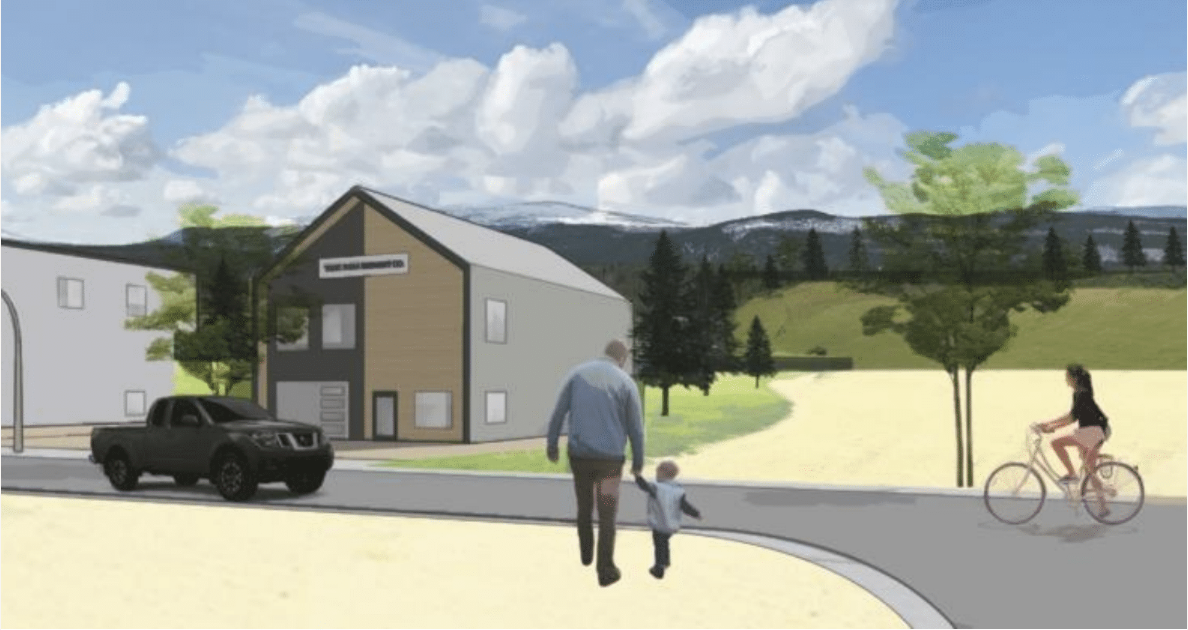
TESLIN TLINGIT COUNCIL GREEN SUBDIVISION

XAXLI'P LAND USE PLAN

TWO QUICK RENTAL HOUSING

EVELYN HOUSE

KWANLIN DÜN SALMON STEWARDSHIP CENTRE FEASIBILITY STUDY

SOUTH CANOL HERITAGE INTERPRETATION DESIGN

WHITEHORSE TOWN SQUARE DESIGN

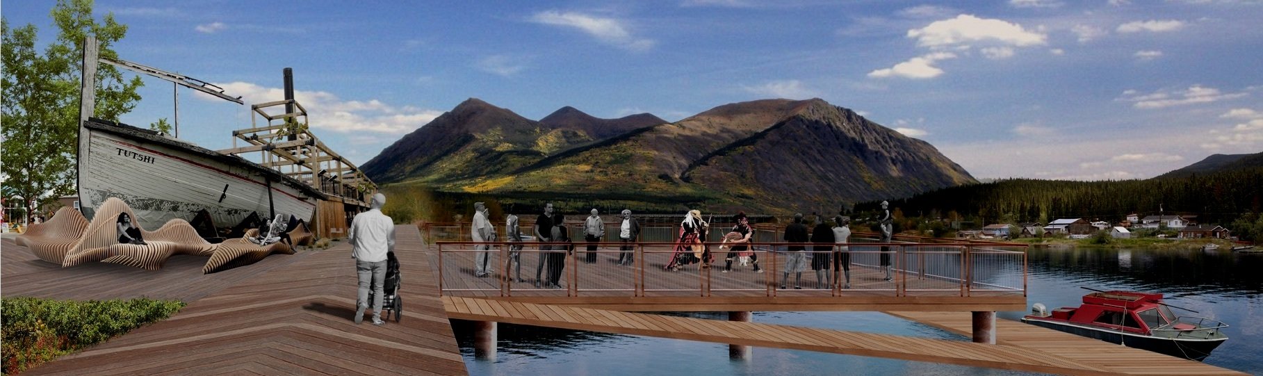
CARCROSS MARINA DESIGN & FEASIBILITY
WASSON PLACE EXTENSION MASTER PLAN

TANK FARM MASTER PLAN

WHISTLE BEND FUTURE AREAS & TOWN SQUARE

C-3B & C-42B RESIDENTIAL DEVELOPMENT CONCEPT

TINY HOME VILLAGE CONCEPT

CARCROSS INFRASTRUCTURE AND HOUSING PLAN

HILLCREST RECONSTRUCTION PROJECT

DREDGE POND II MASTER PLAN

ICE LAKE ROAD MASTER PLAN

YUKON RIVER PEDESTRIAN CROSSING WHITEHORSE

COPPER RIDGE MASTER PLAN

HAINES JUNCTION SUSTAINABILITY

NISUTLIN BRIDGE BASELINE STUDIES

TRANSIT FREE FARE STUDY

REST AREA MODERNIZATION PROJECT

KWANLIN DÜN FIRST NATION C-56B MASTER PLAN

HAINES JUNCTION MASTER PLAN
WHITEHORSE TRANSPORTATION MASTER PLAN

LONE TREE RESIDENTIAL CONCEPT & DESIGN

FLOOD MAPPING ENGAGEMENT

DAWSON REGIONAL LAND USE PLAN ENGAGEMENT
TKC C-9B Master Plan
Acknowledgment: In the spirit of respect, reciprocity, and truth, we acknowledge that we live, work and play on the Traditional Territory of the Ta’an Kwäch’än Council and Kwanlin Dün First Nation and all people who make the City of Whitehorse their homes and whose relationships with the land continue to this day.