FLOOD MAPPING ENGAGEMENT
Flooding is becoming more common in the Yukon due to climate change and accompanying more extreme weather events. The Government of Yukon is working to better understand flooding in the territory to help build safer, more resilient communities.
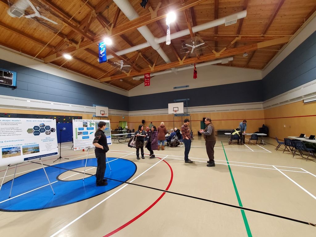
3Pikas was retained by the Government of Yukon – Environment Water Resources Branch to support an engagement program to elicit input on draft flood maps for Southern Lakes communities (Carcross, Marsh Lake, Tagish, Lake Laberge), Carmacks, and Teslin.
The engagement program preparation began in August 2023 and concluded in late July 2024 when the final options and recommendation report were submitted. The report provides a list of what worked, options, and recommendations for improvement. The purpose is to provide recommendations to support further policy direction. These discussions are relevant as YG moves forward with more of a policy framework for flood-prone areas in Yukon.
Acknowledgment: In the spirit of respect, reciprocity, and truth, we acknowledge that we live, work and play on the Traditional Territory of the Ta’an Kwäch’än Council and Kwanlin Dün First Nation and all people who make the City of Whitehorse their homes and whose relationships with the land continue to this day.


